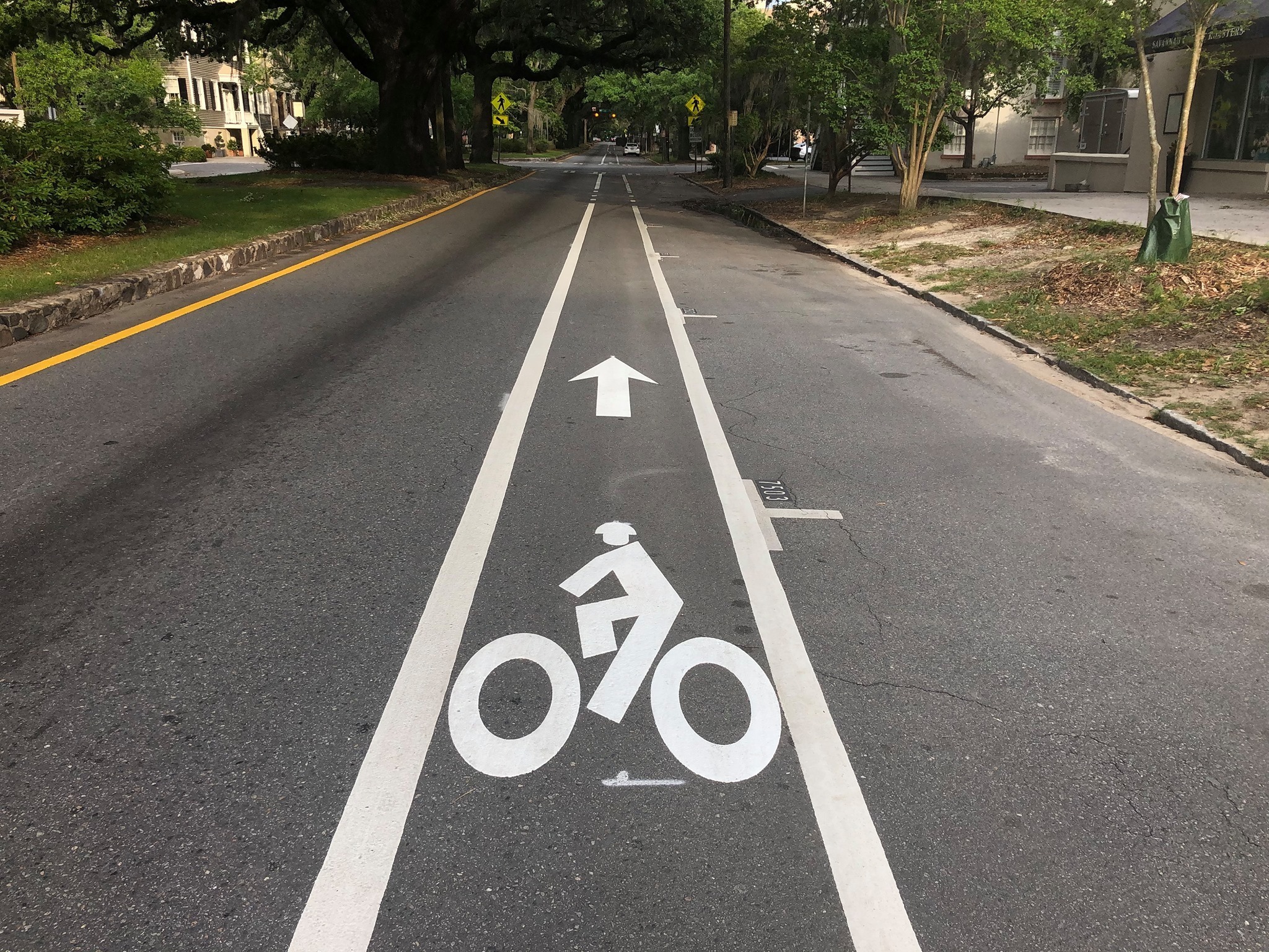
Whether you’re commuting to work or school, getting some exercise, or riding to get your groceries, planning your route can be a difficult — but necessary — step. You don’t want to get to your destination and realize you have to cross a six-lane highway in order to get there, but you also don’t want to ride down a cul-de-sac and not be able to get out. Below are our tips on how to plan your perfect route.
Try planning out your own bike route this May!
Mapping Out a Safe Route
Use Google Maps

Google Maps has come a long way in helping plan bike routes! Visit Google Maps, click Layers at the bottom of your screen, and then click Biking to show trails, dedicated lanes, bicycle-friendly roads and dirt or unpaved trails.
You can input your starting point and destination and select biking, which will suggest routes that follow bike infrastructure or bike-friendly streets, if available. You can even select street view in order to see a photo of the street, which can help you in quickly identifying if that’s a route you’d like to take. Pro Tip: Under Layers click Traffic, which can help you identify if streets are closed or if traffic is moving slowly in certain areas. Also, the wider the street the more cars are likely to be on it — and moving quickly!
Use Strava, Map My Ride or Ride with GPS
The great thing about biking in Savannah is that we have a lot of people out biking with you! There’s a pretty good chance that someone has a route similar to the one you’re looking to create, which means that websites like Strava, Map My Ride or Ride with GPS can help you find a route that someone has already ridden. They can also have heat maps, which can show you where people are riding.
Tips for Planning Your Route
Maybe you can find a route digitally, but you’re concerned about riding it in person. You don’t have to dive all in right away!
- Talk with other bike riders: Check out local biking groups on social media or in person and ask for some tips! Check out Bike Walk Savannah’s events for some more details on our rides.
- Scout the route: If your route is on streets and not on bike paths, try it out in your car first. While you won’t be able to get exactly the same feel for the road, you can easily see if there are areas that are blocked off, high volumes of other cars, or might not have a safe crossing for you to use.
- Experiment with your route: If you know the area well enough, take some time to experiment with different possible routes. Make sure to leave around the same time you would be biking to or from your destination, but give yourself some extra time (like on your day off). This can help you find additional streets that might be a little more comfortable for you.
- Be familiar with your map: What happens if the street you usually take is closed due to construction or a crash? Do you know what other streets you can take? We recommend knowing a few different alternate routes, as well as knowing what sections you can’t swap out. This can also be helpful for different times of day — maybe you go to work taking one route, but return home on another.
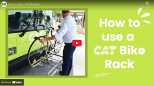
- Don’t be afraid to go multi-modal: Maybe you can’t ride directly from your house, but you can pick up some safe
- streets a mile or two away. Check out Chatham Area Transit and see if there’s a bus you can take for part of your trip!
Need some more help? Request some bike route assistance from the BWS team or check out our routes page.
This blog post is produced thanks to support from the Governor’s Office of Highway Safety.
